How dark is the sky in West Coast?
Sky darkness for 2 towns and parks in West Coast, worked out from NASA satellite images of light at night (2025). 2 of them have skies of Bortle 4 or darker, where the Milky Way shows overhead. The darkest is Paparoa National Park (21.93, Bortle 2), the brightest Paparoa National Park (21.93, Bortle 2). Milky Way season in West Coast runs February to October: on moonless nights the bright core stands clear of the horizon, climbing to about 77° at its highest.
Numbers like 21.95 or 16.97 are the brightness of the sky overhead on a clear, moonless night, in mag/arcsec². The scale runs backwards: a lower number means a brighter sky, from about 22 for a natural sky to about 17 in a city center.
How the readings are made
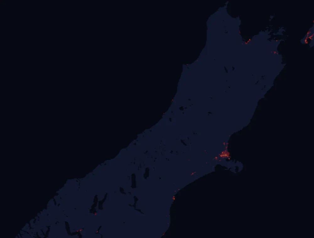
Darkest skies in West Coast
Among the places on this site. Plenty of land between them is just as dark, with no town or park to name it by.